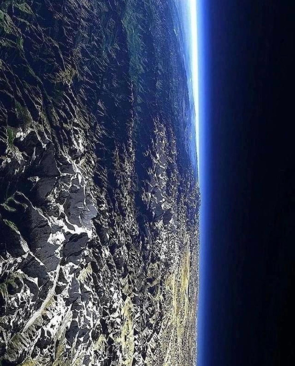
Image 1,2: 3D computer artwork, viewed at an altitude of 39 kilometres. In the foreground is Kanchenjunga, which, at 8586 metres high, is the third tallest in the world. In the background is Mount Everest, the world’s tallest mountain at 8844 metres high. To the left the green regions of lower Nepal and northern India and to the right the high plains of Tibet. This image was created by Christoph Hormann using data obtained from satellites such as Landsat and SRTM (Shuttle Radar Topography Mission). The data was processed into computer models using three-dimensional rendering software and then coloured and distorted to mimic the natural curvature of the Earth. ⛰ 🌍
Image 3,4,5: An astronaut aboard the International Space Station shot this oblique photograph of Mount Everest, Earth’s tallest mountain (when measured from sea level). Standing on the border of China and Nepal, Everest is the centerpiece of the Great Himalaya Range, the highest and northernmost section of the Himalayas. Many of the world’s tallest peaks are found here, including Kanchenjunga (8,586 meters/28,169 feet) and Everest (8,850 meters/29,035 feet). Stretching 2,300 kilometers (1,400 miles) across Pakistan, India, Nepal, and China, the mountain range has an average elevation above 6,100 meters (20,000 feet). 🗻 🔭
Do you love the Himalayas? ❤
Leave a Reply